Sunny, warm Wednesday to give way to more weekend rain in Seattle… and then come the 40s?
 Scott Sistek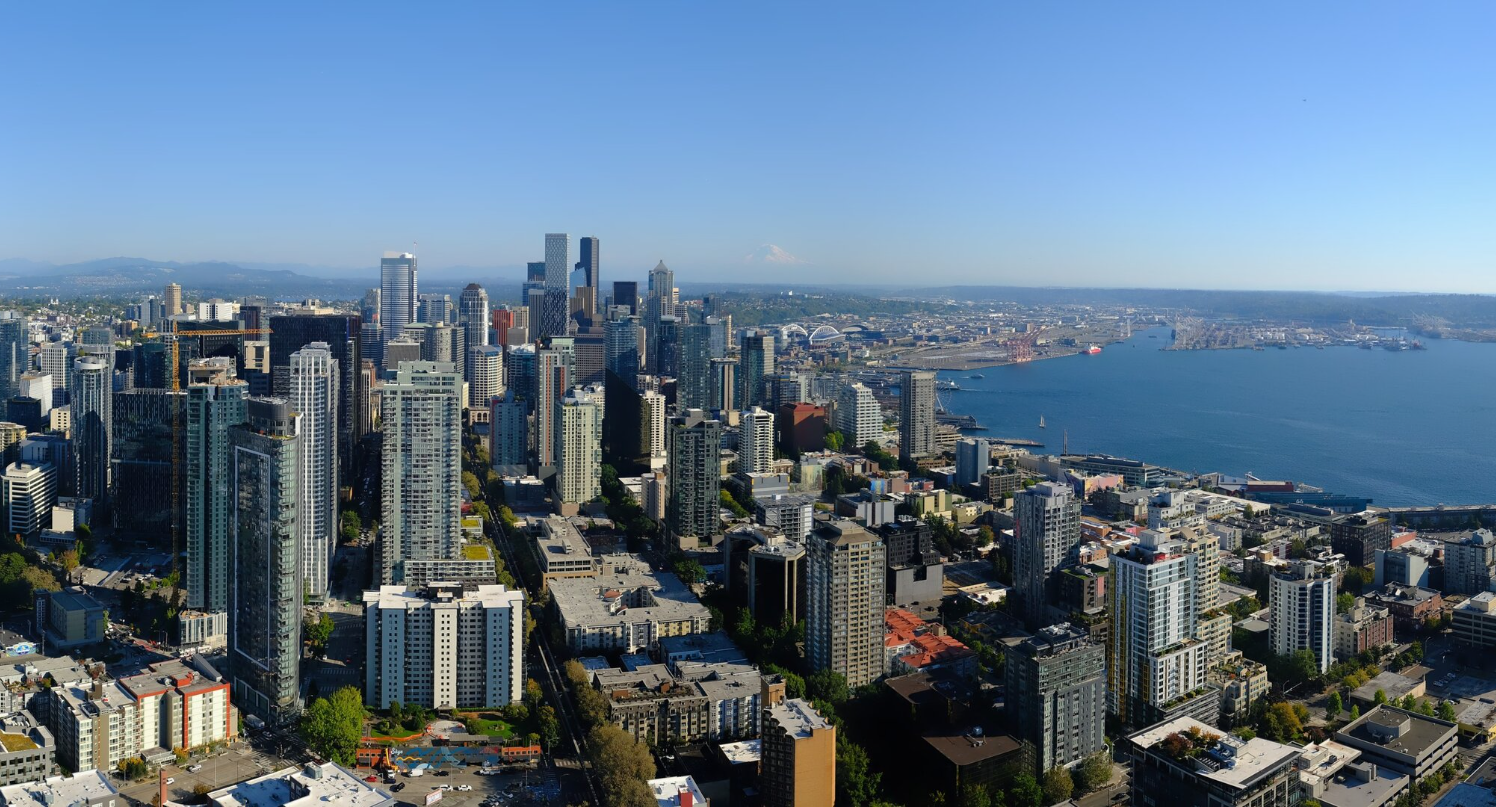
Sunny day in Seattle on Sept. 8, 2026. (Space Needle Web Camera)
It’s hard to please everyone when it comes to a Seattle forecast, but the next week may come pretty close.
Sun fan? Check.
Rain fan? Check.
70s/near 80 for highs? Check
60s for highs? Check.
40s at night… Check….? (Really?!?)
90+ heat? Check… a calendar
Snow? You too…
The sun and warm fans better hurry up to soak up your weather because it’s fleeting — at least the 70s/near 80 part. High pressure will continue to build on Wednesday giving Seattle what is starting to look like will be the warmest day of September* (*Remember if it gets warmer than Wednesday later this month, you didn’t read that from me…).
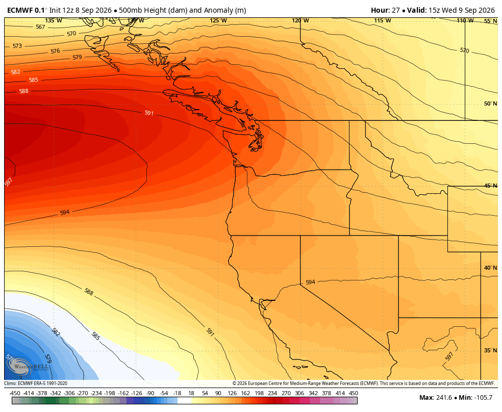
Highs should reach the upper 70s around Seattle with (one last?) 80 or so in the usual warmer spots like the foothills and South Sound. Seahawks game Wednesday night is still looking like absolute perfection.
I FORGOT TO PLAN SOMETHING OUTSIDE ON WEDNESDAY AND NOW THE OUTDOORS IS SOLD OUT. WHAT CAN I DO?
Those dang bots… Anyway, Thursday still qualifies as pretty nice.
The ridge of high pressure will start to fade a bit, allowing more in the way of morning clouds before getting to at least a partly sunny afternoon. High will cool a bit back to the low-mid 70s.
SORRY SUN FANS, A WEEKEND APPROACHES. YOU KNOW WHAT THAT MEANS…
Another area of low pressure is set to slide down from northern B.C. again Thursday night and Friday, though this one doesn’t look as potent as the last one. Still, clouds will increase Thursday night and Friday with even some areas of drizzle possible in the central Puget Sound area during those periods, as weak convergence wrings out the clouds a bit. Highs Friday cool back into the upper 60s – maybe eke out a 70, but sunshine will be limited.
The low will start to move ashore likely into Northern Oregon on Saturday morning, spending the day swirling showers around Washington and Oregon as it pushes east through the region.
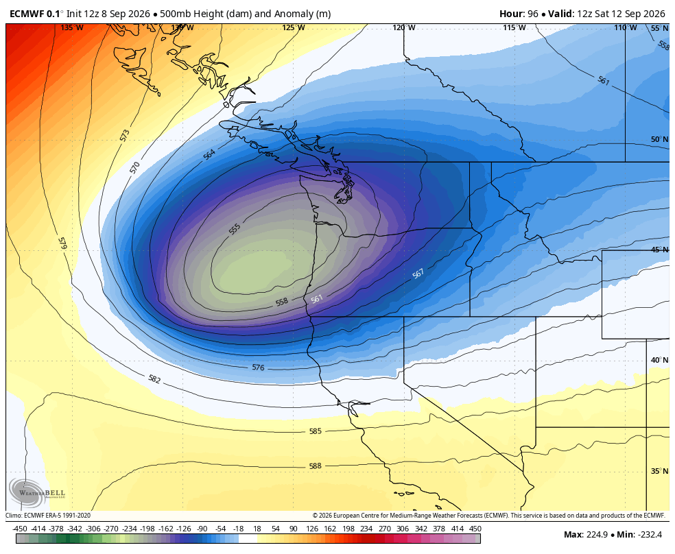
Thus, Saturday is chalking up gray and occasionally wet across Seattle and Western Washington. Rain begins in Seattle area Saturday morning and the showers won’t end until Saturday night, though there will be dry spots in between; it won’t be an all day washout. There is a slight risk of a thunderstorm but again, this storm doesn’t look as powerful as the last one. Highs will stay in the mid-upper 60s.
Sunday is looking drier and definitely the better outdoor day of the weekend (quick! Before it sells out! 😉 ) but still relatively cool with lingering clouds and a few isolated showers.
The long range forecasts seem pretty solid on a drier and warmer Monday and Tuesday with temperatures climbing back into the low 70s. They then diverge over whether more rain might return next week midweek.
But there’s something else of note in the long range forecasts…
It’s of course a ways out there so it could change. But it’s on a few consecutive forecasts.
SNOW? THUNDERSTORMS? CHEESECAKE?
No, No, and… someone’s hungry?
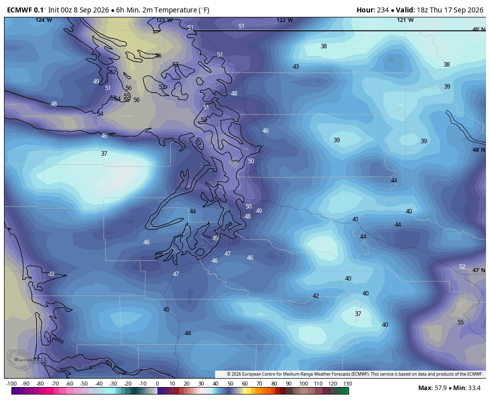
BUT! Some of the forecast models are putting, out on like day 9 or 10…
A low temperature in Seattle… in the 40s!!!! Autumn is coming!
(Alas, no cheesecake though 🙃…)