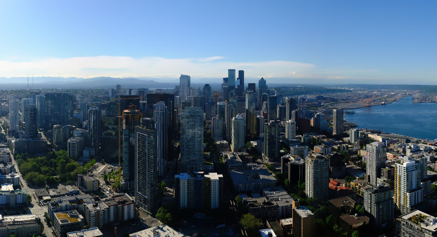
Seattle skyline on June 16, 2026. (Photo: Space Needle Web Camera)
(Starting with a heads up that there is high wildfire danger in Eastern Washington Tuesday. More on that below.)
Summer may colloquially not “really” start in Seattle until July 5th in most years…
But this year? I think we’re already there.
The sunny and dry season appears to now be in full swing where really the only weather concerns for the next long period are just which way is the wind blowing, and do we get our “natural air conditioning” via the marine breeze, or no?
After our little two-day heat wave that included Seattle reaching its first 90 degree day of the year on Monday (91), the marine breezes are back to bring temperatures in line with more typical June levels.
In fact, as Junes go around here, the next seven days really are about as good as you can ask for. We’re just expecting minor variations in the onshore flow through early next week which will be like turning our “natural air conditioning” on a 10-point dial through a range from about a 2 to a 4.
The lighter “2” days, trending now for Friday and Monday, may see highs eke into the low 80s around Seattle (about 80 or so for the USA-Australia game Friday, or about 27C for our Australian friends).
The rest of the days will be more like a “3” or “4” setting that will keep Seattle highs in the mid-upper 70s, maybe sneaking out an 80. But neither “hot” nor “cold/rain” is in the forecast for a long while. We are locked in.
COOLER AIR COMES WITH A PRICE IN EASTERN WASHINGTON
Usually a heat wave breaks a day later in Eastern Washington and if it’s a big cool down, it usually comes with strong westerly winds.
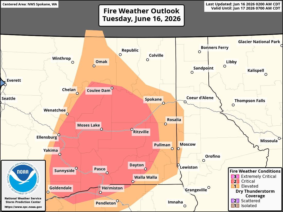
The thermally-induced low pressure moves east into Idaho and our marine breezes chase over the Cascades, providing heat relief (only in the 80s Tuesday vs high 90s Monday) but trading off for strong, dry winds that bring three challenges:
1- The winds could cause minor damage
2- The winds can bring blowing dust and travel difficulties
3 -The winds are dry and create high wildfire danger.
To that effect, a Fire Weather Warning is in effect for much of Eastern Washington today for gusts up to 40-45 mph and very dry humidity levels. The National Weather Service in Pendleton, which covers the Columbia Basin of Washington, is warning of “critical” fire weather conditions across the Lower Columbia Basin and Kittitas Valley.
Red Flag Warnings have been issued for the Lower Columbia Basin of Washington (WA691) and Oregon (OR691) Tuesday morning through Tuesday evening for high winds and low relative humidity. West winds of 20-30 mph with gusts of up to 45 mph and afternoon humidities as low as 19% are pic.twitter.com/u9Cv6HOUKE
— NWS Pendleton (@NWSPendleton) June 15, 2026
There are already some fires burning in southeastern Washington near the Columbia Gorge and any new fires started today will have ample conditions to grow.
The warnings end Tuesday night as the winds will abate, but fire weather conditions will increase again each time we cool off a bit from our minor heat builds this week, it’ll bring some gusty winds over to the eastside the next day.
The latest 6-10 and 8-14 day outlooks for the end of June are trending on the warmer side for the Pacific Northwest, making me even more confident by the time July 5 gets here, we’ll be feeling like “summer veterans” already.