 Scott Sistek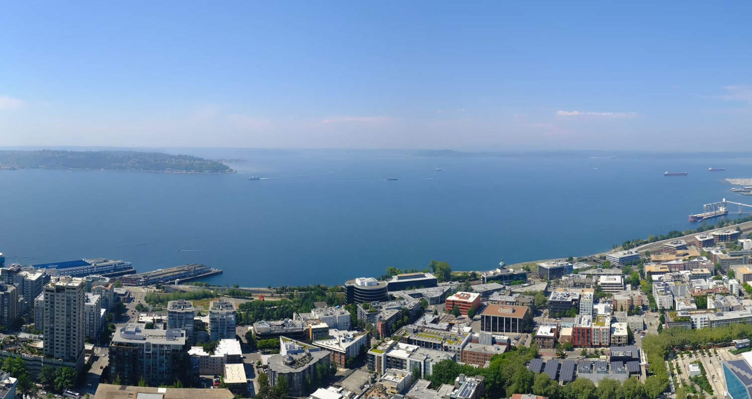
A sunny Elliott Bay on July 22, 2026. Seattle would reach 95 degrees that day, then have rain move in late. (Photo: Space Needle Web Camera)
It’s not often Seattle can match up a heat wave with some rainfall. Usually to get well into the 90s, cloud cover is the last thing that can happen.
But thanks to leftover Tropical Storm Elida, Seattle got both on Wednesday, making for a very rare combination. The high temperature reached 95 degrees at Sea-Tac Airport — in a 27-way tie for 34th-hottest day on record. It wasn’t even a record high for the day, which was 96.
But you know what 59 of those 61 days Seattle has reached at least 95 degrees didn’t have? Measurable rainfall.
Wednesday had showers and thunderstorms move in late from Elida, bringing 0.05” to Seattle. It’s only the second time in Seattle (Sea-Tac) history that rain fell on a day that hit at least 95 degrees. The other date was August 11, 2006 when it hit 96, then rained 0.02 inches. (July 17, 1998 had a trace of rain and a high of 95.)
95 DEGREE DAYS: NOT SO RARE ANYMORE.
Up until the first bit of the 21st Century, Seattle used to average a 95+ degree day about every other year.
However, since 2014, every year except for two have reached at least 95 degrees or hotter.
The other two years that didn’t? (2018 and 2025) — reached 94 degrees.
NO MORE HEAT FOR A WHILE
After Thursday we should be done with all three recent weather antagonists for a while: No more 90s heat, no more smoke and no more thunderstorms.
We’re heading into a rather calm and mild pattern for a while. We do briefly rebound a little on highs Friday into the low-mid 80s but cool right back down for the weekend — maybe even a few light showers but nothing that would mess up any plans.
Otherwise, think highs in the 70s with plenty of sunshine around morning clouds. We’ve certainly earned the break.
WHAT’S WITH THAT NEW HURRICANE OFF MEXICO? 🌀
That is Hurricane Fausto, spinning well off the coast of Mexico. Unlike its predecessor, It has no eyes on our weather.
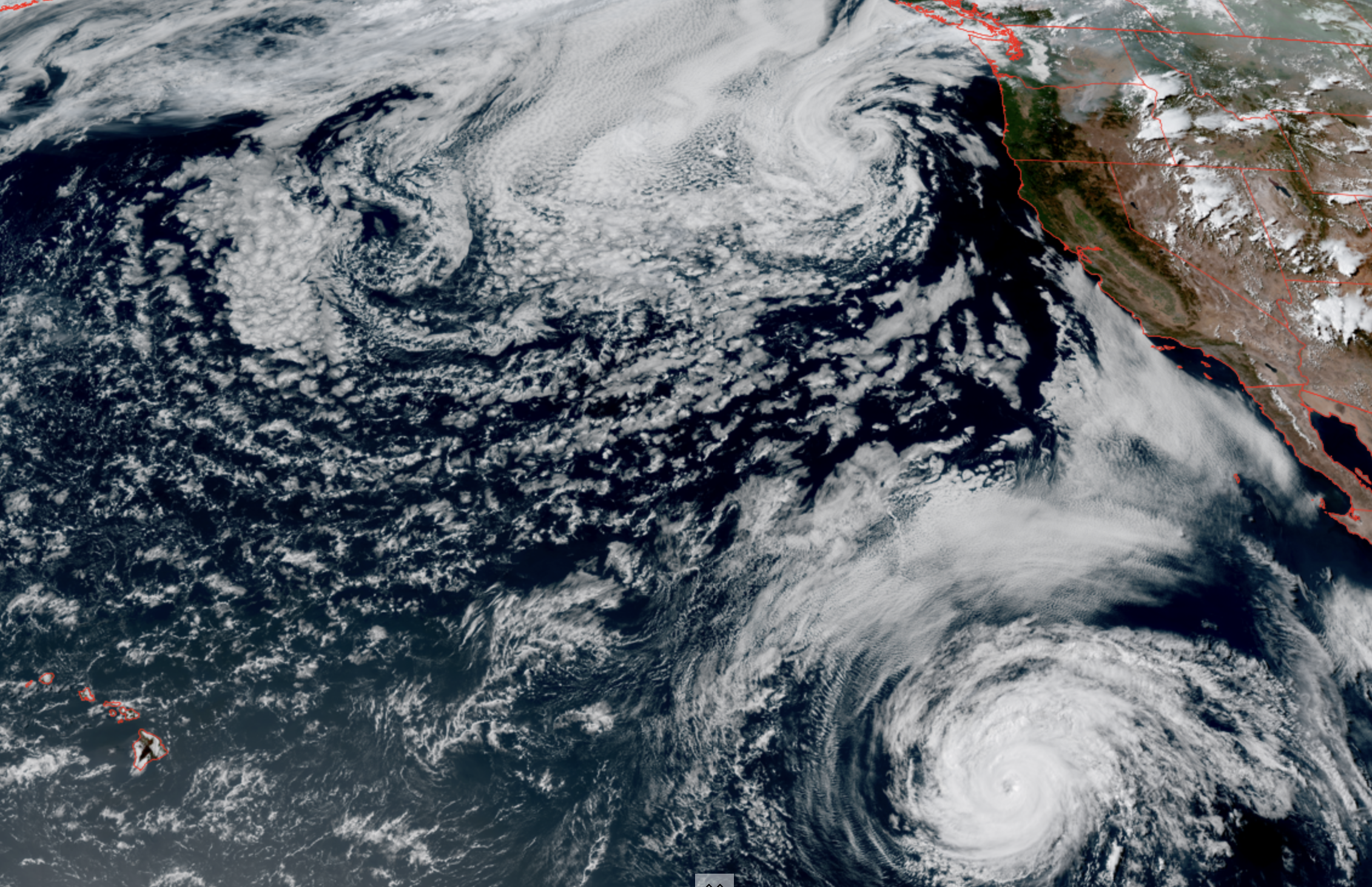
But those who have friends or family in Hawaii will want to at least keep a little eye on him for a bit. Long range models show it will move west in the general direction of Hawaii, although no model solutions show as a major storm.
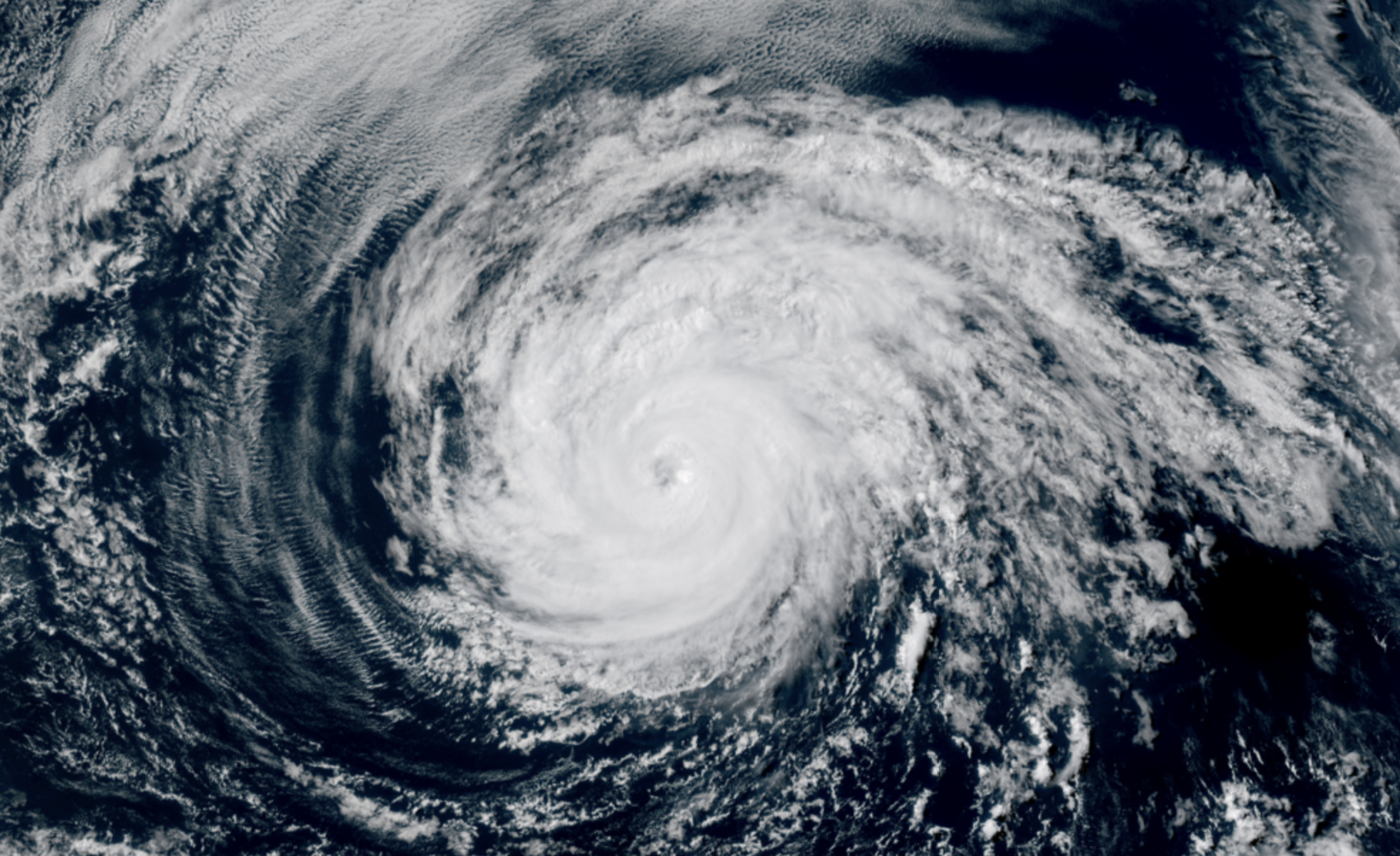
The current projections are Fausto will weaken after a few days on its journey west as it hits some cooler waters. However, latest projections Friday morning show Fausto may still be a tropical storm as it nears the islands.
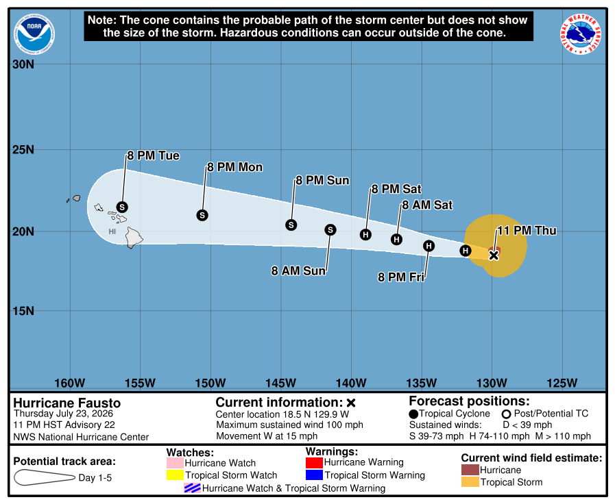
There may be some potential for heavy rains and gusty winds for the islands middle of next week if that comes to pass, but no big worries yet as the islands are well equipped for tropical storms. On the other hand, if you’re a surfer, there could be some decent Fausto-enhanced waves next week especially on the north and eastern shores if you want to get an early jump. 🏄
But I get the sense you’ll start seeing more about Fausto and Hawaii soon and I just wanted to give an early heads up that at this point it’s not looking like a major impactful event, unless you want to Hang 10.