Stunning view of swirling low pressure center that has eyes on Seattle area
 Scott Sistek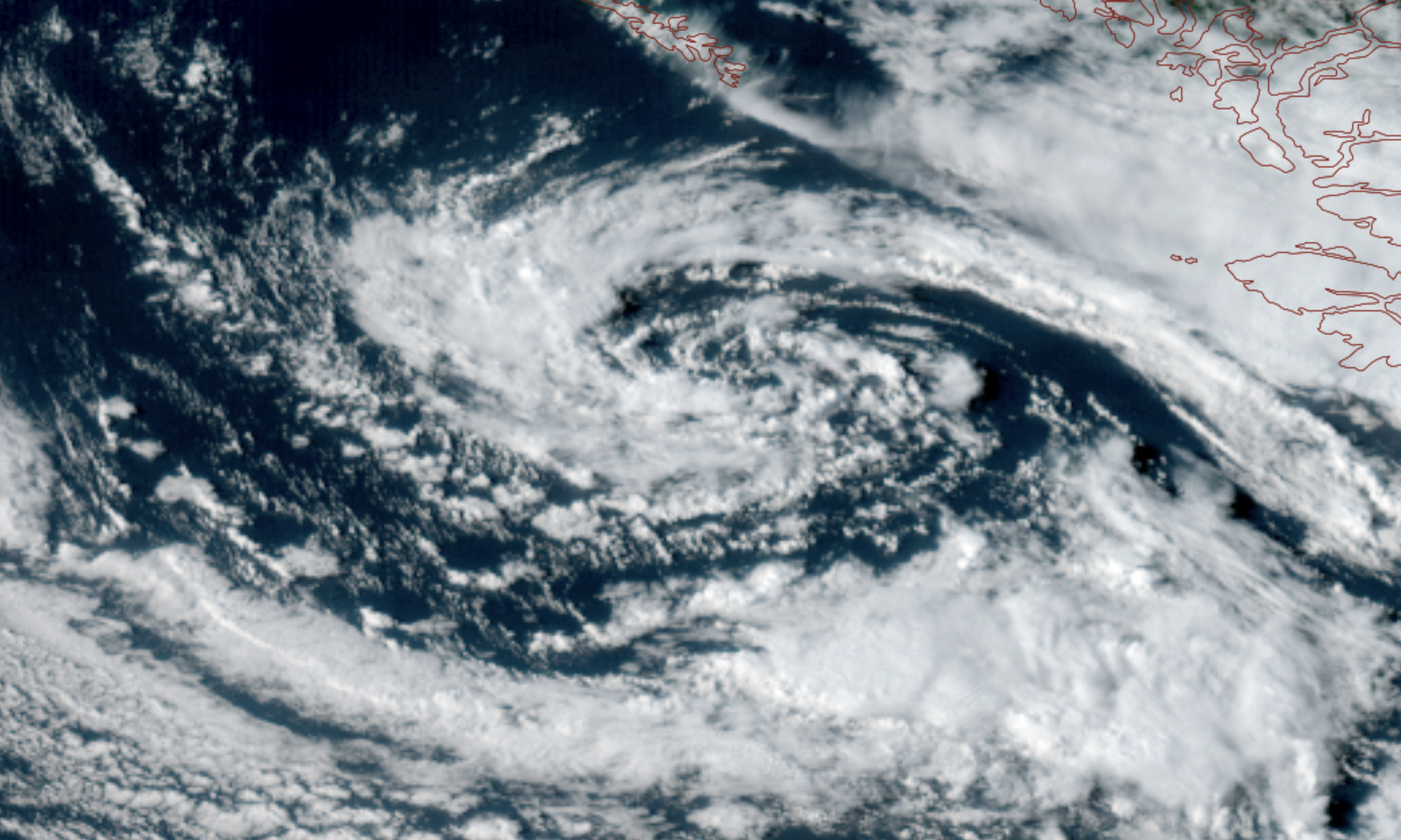
GOES-18 satellite wider view image showing a low pressure center swirling off the B.C. coast on Sept. 2, 2026. (NOAA / CIRA / RAAM-B)
It’s a sight for sore eyes — at least to those of us who missed active weather over the summer.
A vivid swirling low pressure is working its way down the British Columbia coast Wednesday night, eyeing a parking spot just off the Oregon coast. The low sent a slow but decent-for-late-summer cold front through the Northwest — you can see it on the satellite image just going through Western Washington during the evening.
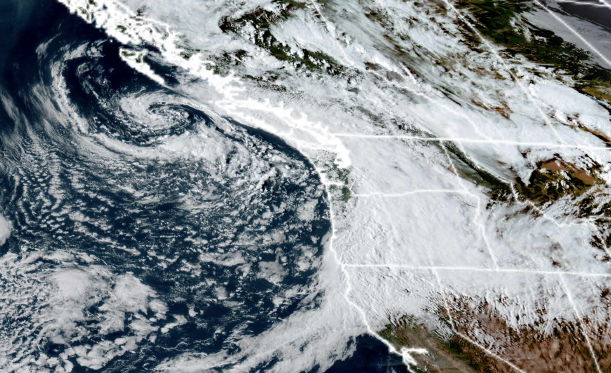
The Northwest Interior were the wind champions so far Wednesday with gusts up to 40-45 mph. The Seattle/Puget Sound area has been gusting in the low 30 mph range — nothing we can’t handle.
Now that the front has passed, we turn our attention to more of a hit-and-miss shower pattern as the low brings cool, unstable air mass to the Northwest.
Some of these showers will be heavy and, especially Thursday, could graduate to thunderstorms. The thunderstorm risk is pretty low but I suspect some folks will hear a few rumbles of thunder. Lightning will be more likely in the Olympics and Cascades and in Eastern Washington. But in between the showers, the skies will feature plenty of sunbreaks so it’ll be one of those “if you don’t like the weather, wait 20 minutes sort of days.
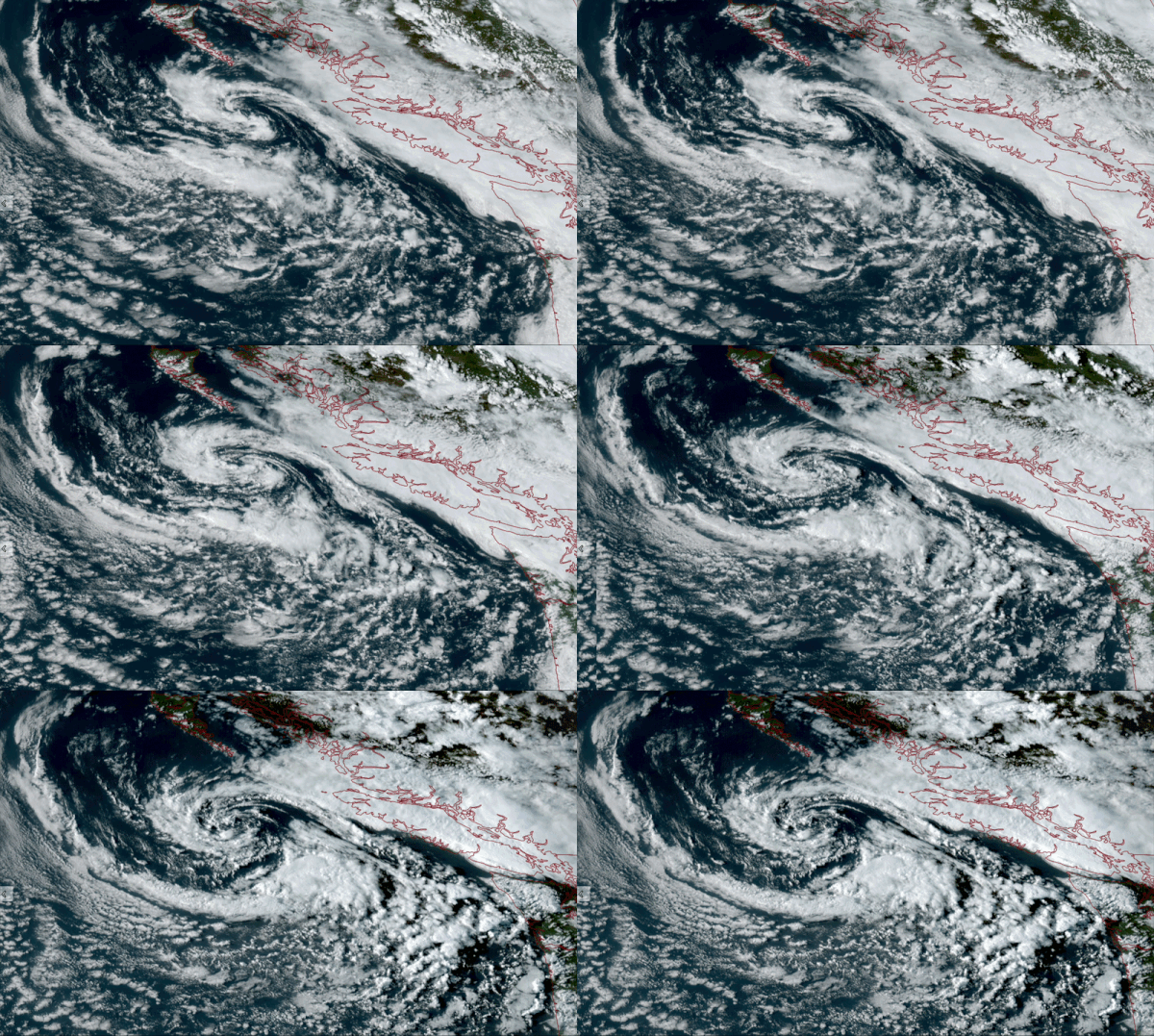
The low is forecast to slowly fizzle in strength, but drift around the Northwest into the Labor Day weekend. That means the air mass will remain unstable through at least Sunday with a risk of showers each day, but as the low slowly loses strength, the number and frequency of showers will diminish. Still a slight risk of thunderstorms in the mountains and in Eastern Washington.
It looks like the low will be a shadow of itself by Sunday and it’s expected release its grip on our weather by Monday or Tuesday next week.
We may sneak in just enough of a brief drier and warmer break middle of next week for the Seahawks home opener, but the long range models are at least trending in renewing cool and showery toward the end of next week.
But at least maybe it’ll put on another nice show on satellite!
MORE TO EXPLORE:
- Seattle took just 10 minutes to thwart a rain record Saturday
- What are some scenarios a historic ‘Super El Nino’ could present for the Pacific Northwest and California?