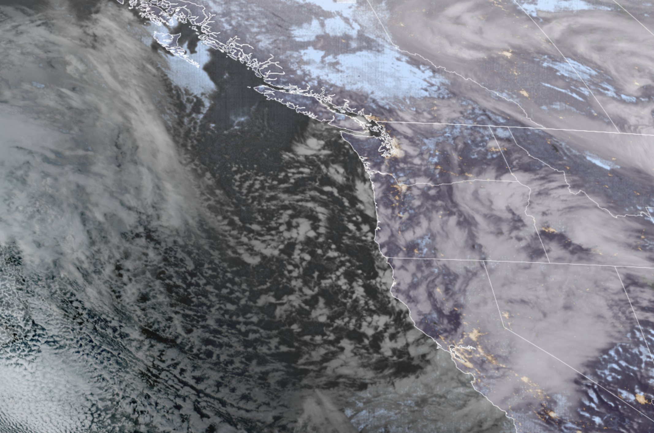
GOES 18 Satellite Image for morning of Feb. 17. (NOAA/ CIRA/ RAAM-B)
Seattle may not *quite* be done with the snow chances just yet but at least it won’t be a goose-egg in 2025-2026 winter snow tally. For at 7:58 a.m. on February 17th, 2026, snow was finally observed at Sea-Tac Airport!
For 13 minutes. Let me blow my party horn:
toot
It then “allegedly” snowed again for 21 minutes later in the afternoon, according to the weather observation at Sea-Tac Airport, before mixing with rain for the rest of the 52 minutes of the precipitation observed at the airport until it ended again. I’m not so sure though, Sea-Tac was reporting temps of 39-41 during that time frame; that’s a lot to ask for for a snowflake not to have melted to rain by then when you’re +7-9 degrees from freezing.
But still, even with the 13 minutes, it means Seattle’s total seasonal snowfall: A Trace! But that paltry, fleeting snow was more than the winters of 1991-92 and 2004-05 mustered. So now: We’re in a long tie for 3rd least snowy winter.
Snow Party Horn Vibe: Toot
As teased above, there is still a window of opportunity for still a little more snowflake sighting around Seattle, but it’s not great, and time is short.
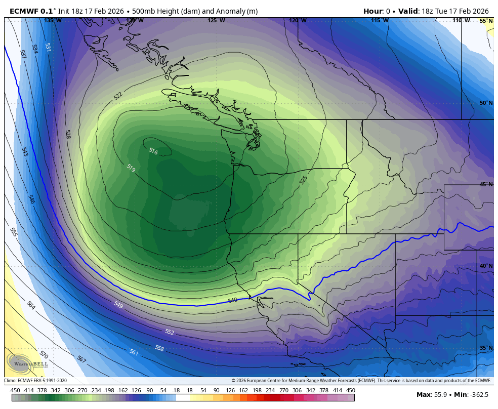
The trough of low pressure that has been spinning off the coast will begin to drift to the southeast Tuesday night into Wednesday and nudge closer to Western Washington as it does so. That will put us a little closer its higher concentration of scattered showers.
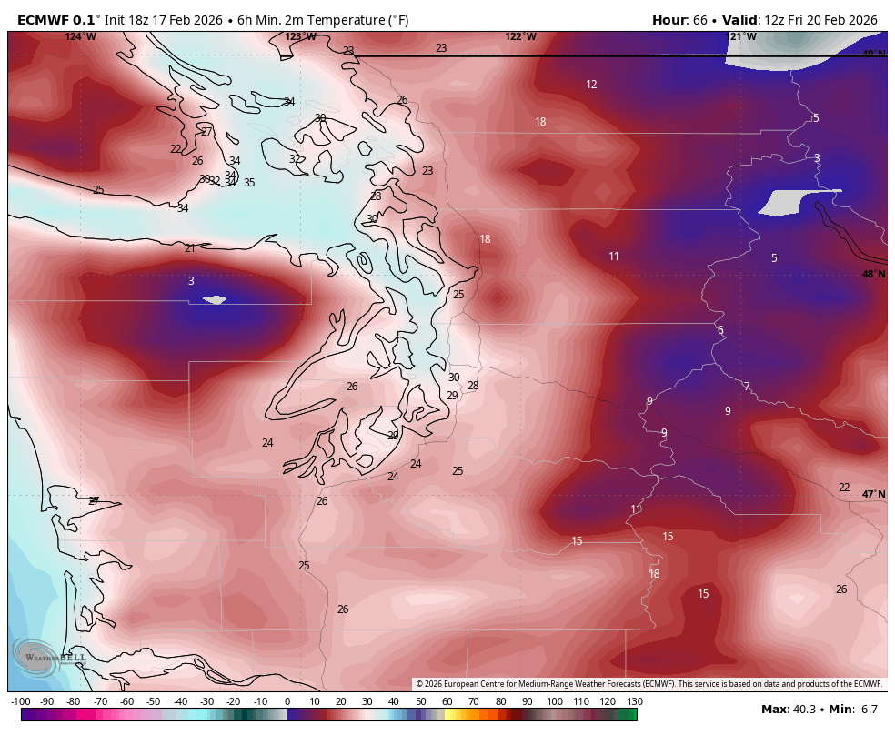
Overnight temperatures Tuesday will eventually drop to similar lows as Monday night — upper 20s in the outlying areas to near freezing in the Seattle Metro area. That means, yes, those passing, roaming showers could be a rain/snow mix or even a wet snow.
Snow Party Horn Vibe: Toooot…?
But as been the mantra — we’re not expecting much of any accumulations besides brief dustings that will mostly stick to cars and grassy surfaces. (No need to see if the store has restocked their bread and milk!) However, with clearing patches between the showers, we could see some icy spots where it had rain/snowed then froze like Tuesday morning.
Snow Party Horn Vibe: toot
The sinking low will draw a little bit of chilly northeast Fraser Wind down into the Bellingham/Whatcom County and San Juans, but it’s pretty localized chill and not egregiously windy. But a Cold Weather Advisory is in effect for western Whatcom County Wednesday morning for wind chills in the upper teens.
Our window of snow opportunity for the Puget Sound area and points north, such as it is, ends about mid-Wednesday morning on two levels: For one, we’ll gradually warm back above 40, ending snow threats. And two, we’ll start again running out of moisture as that low keeps trekking south. This… sadly could be about it for snow this winter for Seattle unless something drastic changes in the long range.
Snow Party Horn Vibe: MEH!
By Thursday, snow chances will be relegated to areas from about Olympia south (maybe some minor accumulations down there, especially around the Willapa Hills) as that low scoots farther away, leaving the Puget Sound area and Northwest Interior dry but chilly.
Thanks to that assist from the Fraser winds, Thursday and Friday mornings may be some of the coldest mornings of winter so far with lows in the mid 20s, so it could be a slick morning commute. But as mentioned, we’re dry.
The long range pattern begins to shift again by Friday and especially into the weekend to becoming a little milder and pulling snow levels up above the lowlands. We’ll shift instead to periods of lowland rain and gusty winds, but it does look like snow levels will remain low enough to keep things as snow in the mountains.
So while the lowland snow forecast is pessimistic, the mountain snow forecast still remains on the brighter side for a while.
Snow Party Horn Vibe: TOOT!!!
MORE TO EXPLORE:
- Snow finally enters the Seattle forecast this winter
- Flip those PJ’s inside out? Some ideas to bring winter weather back to Seattle
- That time Punxsutawney Phil saw his shadow and Seattle ended up with a record blizzard
Was in the area during the afternoon time, and there was a fairly ominous cloud that produced some hail and sleet before dumping rain. Really would not be surprised if the snow was simply due to strong downbursts or intense rainfall cooling the air just enough that the snow in the clouds did not melt into rain.
Hi Scott – Really enjoying your posts! A question from this old retired news guy: when do we start talking about potential drought conditions developing if we don’t start getting some normal precip?
Keep up the good work! – Gregg