NOAA gives unusually early heads up for cold weather potential later this month
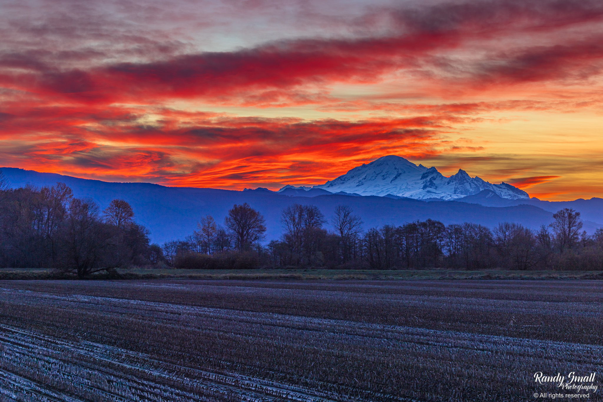
Sunrise near Guide Meridian near Lynden, Wash. on Nov. 9, 2025. (Photo: Randy Small Photography)
November is just barely crossing the halfway point, but eyes are already starting to focus on what might lurk toward the Thanksgiving holiday at the end of the month and the start of December.
NOAA’s Climate Prediction Center put out a graphic Friday that indicates what I’d say is an unusually early heads up of a potential “significant” weather pattern change.
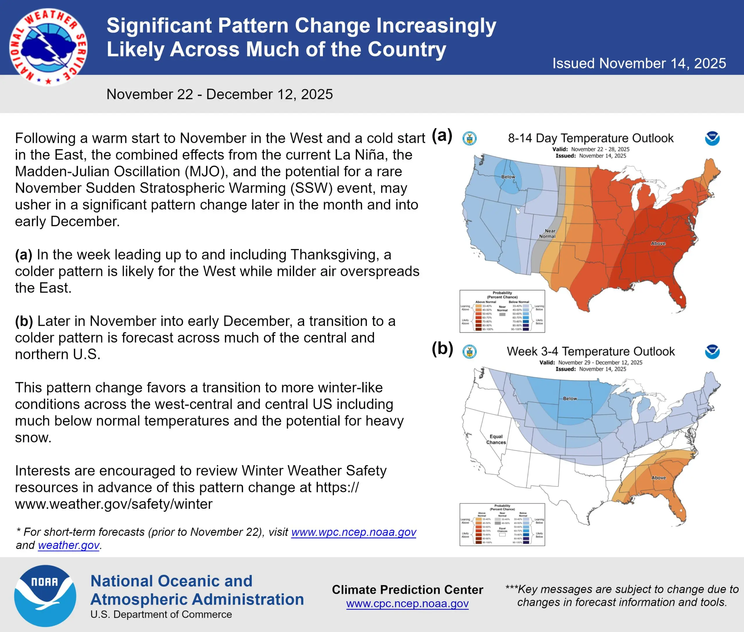
The CPC says signs are growing for a bout of cold air to sweep across a large section of the U.S., including the Western U.S.
“The combined effects from the current La Niña, the Madden-Julian Oscillation (MJO), and the potential for a rare November Sudden Stratospheric Warming (SSW) event,” the CPC said, “may usher in a significant pattern change later in the month and into early December.”
Wow, that’s a lot of acronyms. Here’s what those mean:
La Niña: I’ve blogged about La Niña a bit lately. Short version: Cooler waters in the tropical Pacific usually lead to the Polar Jet stream frequently sweeping across the northern U.S. bringing cooler air. (See this blog for more.)
What is the Madden-Julian Oscillation (MJO)?
The MJO is a batch of weather disturbances that cycle the globe in about a 30-60 day period. These can enhance or depress storm development depending on where they are in their cycle.
What is a Sudden Stratospheric Warming (SSW)?
This one is a bit complex, but has to do with an event over the Arctic Circle when the upper air in the stratosphere suddenly warms (well, duh, Scott…) by several degrees. The main effect from this phenomenon, which happens about every 1-2 years, is to weaken the winds that circle the North Pole (The “Polar Vortex”). Those winds are the gatekeeper to keeping frigid arctic air trapped up there.
Once an SSW knocks down the Polar Vortex, that it usually followed some days later by cold air spilling out of the arctic and heading south into the mid-latitudes. Where? That’s always the key — but more times than not, it’s well east of here.
But an SSW is usually the “canary in the coal mine” of an impending arctic intrusion in the weeks ahead, and an SSW is currently under way. That, combined with those other factors mentioned above, is likely what’s giving NOAA the confidence to give the early advisory.
What does this mean for the Pacific Northwest?
Right now, not a whole lot to hang our hat on just yet.
There are indeed signs in the long range forecasts of cooling weather around here the week of Thanksgiving. NOAA’s 8-14 day outlook agrees with a cooler than average outlook for the West.
Whether that’s just like swinging to a more December-esque mid 40s for daytime highs and mid 30s for lows with chiller rains and heavy mountain snows, or something even more exciting for the lowlands is way too early to know. Right now, it seems NOAA is more concerned impactful wintry potential will be east of the Rockies.
But there will of course be high travel interest with Thanksgiving approaching and even if the lowlands end up the usual occasionally wet, the mountains may face lower snow levels and pass troubles. Of course I’ll keep you apprised as the days get closer and the forecast models get a better handle on it, but if nothing else it appears our days of mild rains are soon coming to an end.