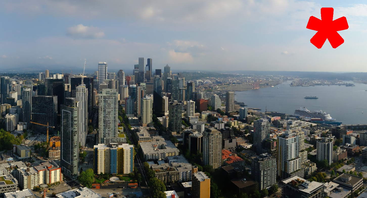
Courtesy: Space Needle Web Camera
(Wait, is that an asterisk?)
Seattle weather is getting a well-earned break from the wackiness that has been the hallmark of the past several weeks.
We still have a little bit of lingering effects from that pesky low pressure center (aka “Bob”) that has still lobbed a few isolated thunderstorms at the Cascades the past few days but Wednesday may just see a few lingering mountain showers and the lowlands look pretty pleasant.*
(Hey, there’s that asterisk again…. Wonder if I should ask what that’s about…)
Temperatures don’t get much more comfortable than where they’ve been the past few days — in the low 70s or so, and that’s where high temperatures should stay the rest of the week with marine clouds giving way to sunshine. It’ll be cool but not cold in the mornings; warm but not hot in the afternoons, and absolutely nothing else, weather-wise, to care about.*
(Ugh, there is that asterisk AGAIN! Seriously… it’s driving me nuts. OK, I gotta know…
SCOTT, WHAT’S WITH THE ASTERISK?!?!?
Umm… oksotheremaybealittlesmoke. But temperatures will be in the seventi….
WAIT, SAY THAT AGAIN!?!
Temperatures will be in the 70s?
NO, THE PART ABOUT THE SMOKE…
So, the smoke forecast models are hinting at potentially bringing back some imported high-altitude smoke later this week. But the good news is much like it was earlier last week (the Friday North King County wacky-smoke event notwithstanding) the smoke should stay high up where it makes it hazy but not affecting ground air quality.
In fact, the ground-smoke models look pretty clear except for the areas immediately around the fires. So overall, not too big of a deal, and shouldn’t get in the way of getting outside and enjoying HIGH TEMPERATURES ONLY IN THE 70S! Especially sun fans — do it now before 70s soon become a pipe dream instead of the expected average.
Sun fans should really though have nothing to get in their way, aside from a little haze, this week.*
OMG DID YOU BRING BACK THE ASTERISK AGAIN?!?
Well, technically Saturday is still within the week. And the long-range models are hinting at some actual rain moving this weekend, though there is frustratingly little consensus over how much rain and/or when it will fall.
Saturday is looking like 50/50 getting through dry, with the rain odds leaning into the majority starting Saturday night and especially Sunday. This will be more of a “stay tuned” for now and we’ll hopefully get a more confident forecast later this week for the weekend, and perhaps ditch the needs for all these asterisks.*
ANOTHER ONE?!? ARE YOU FREAKING KIDDING ME?
Yes, I am.